
Land · boundary layer
Surface & low altitude
Local weather, terrain, vegetation and near-surface conditions for agriculture, infrastructure and aerial surveying.
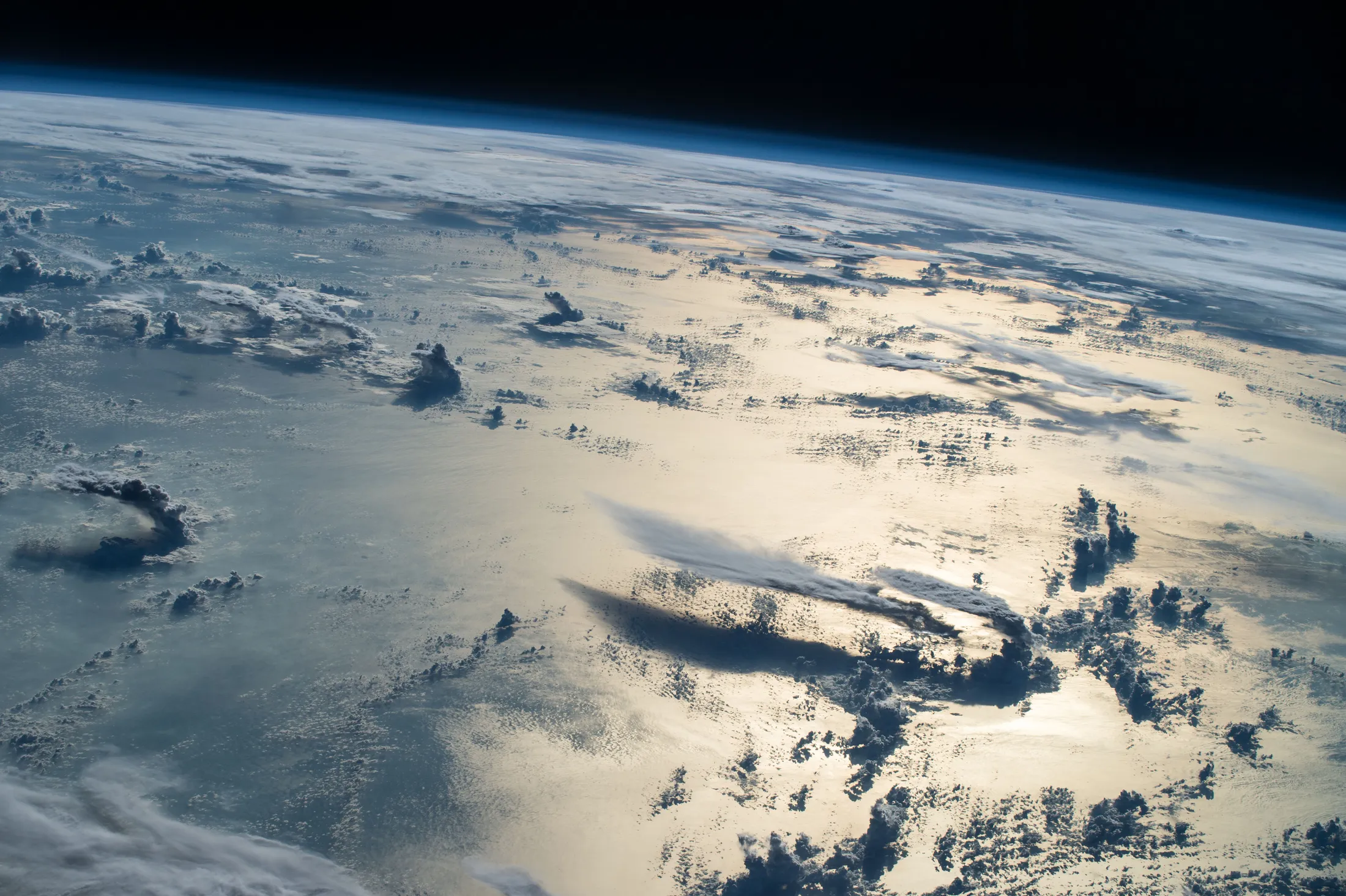
EARTH · ATMOSPHERE · ORBIT
From the field to the orbital environment. We bring environmental data into focus for aerial operations, Earth observation and space research.
Research & project-based integration
01 / Our scope
The atmosphere connects these domains. The useful data, models and uncertainty change with altitude.

Land · boundary layer
Local weather, terrain, vegetation and near-surface conditions for agriculture, infrastructure and aerial surveying.
Troposphere · lower stratosphere
Temperature, pressure, humidity and wind profiles for understanding the environment around aircraft and civil drones.
Thermosphere · orbital environment
Neutral density estimates, orbital information and solar activity for satellite drag and mission research.
Ionosphere · GNSS · radio links
Space-weather and propagation context for positioning and communications. The ionosphere overlaps several atmospheric layers.
02 / Applications
A starting point for operators, manufacturers, researchers and public institutions. Each project begins with a specific question and a measurable outcome.
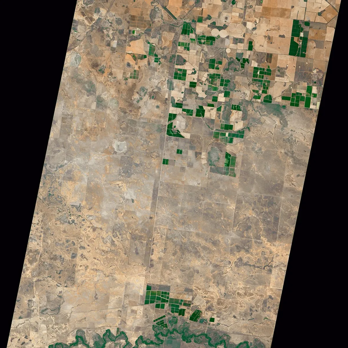
Crop and soil observations, microclimate and field measurements.
Field-condition indicators and environmental context for agricultural surveys and agronomic decisions.
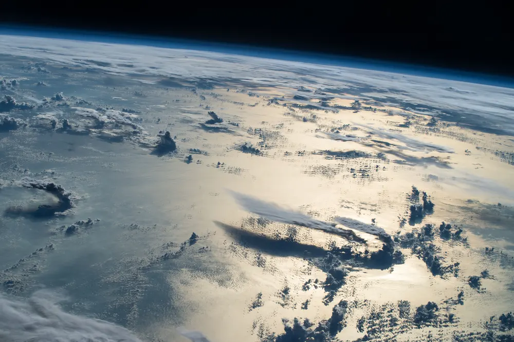
Vertical weather profiles, density, winds and aircraft-specific performance models.
Research into weather exposure and energy sensitivity, calibrated against relevant operating data.
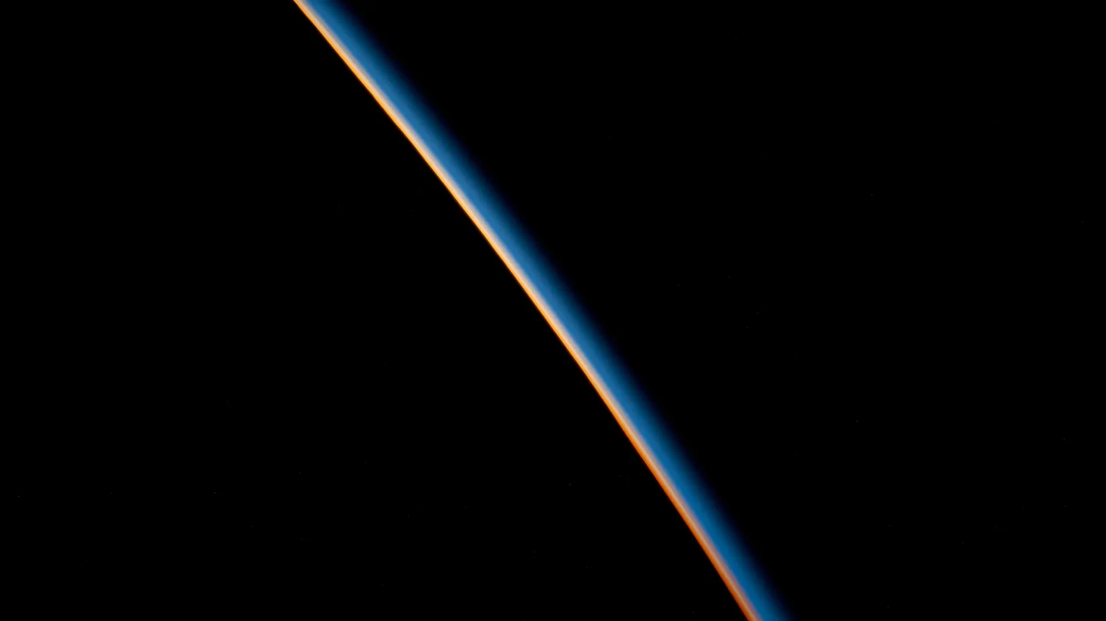
Orbital information, upper-atmosphere density and space-weather observations.
Drag-environment analysis, historical comparisons and data-quality reports for mission studies.
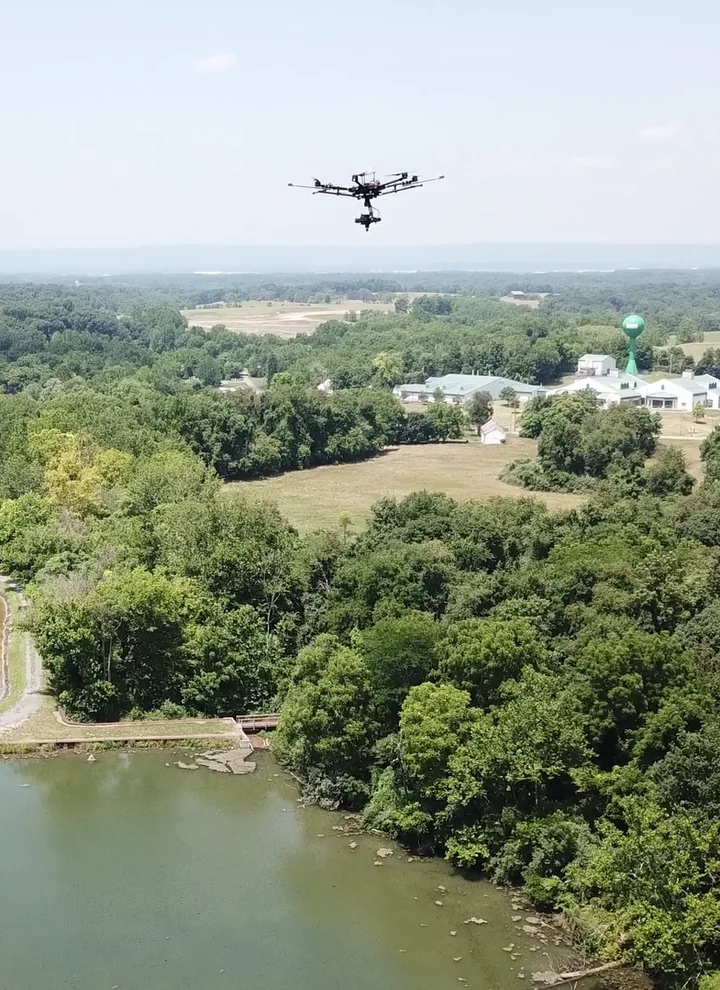
Wind, visibility, clouds and precipitation alongside sensor and mission data.
Acquisition-quality context and post-mission comparison for terrain, forestry and infrastructure surveys.
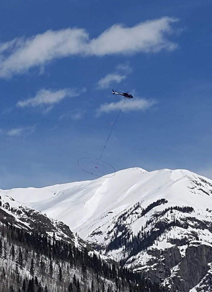
Visibility, cloud base, weather observations and terrain context.
Environmental briefings for medical transport, search and rescue, and civil logistics teams.
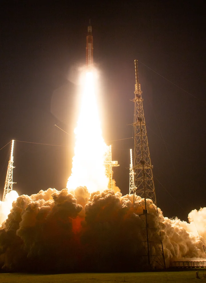
Atmospheric profiles, precipitation, lightning and space-weather context.
Environmental research and reporting against a programme's own criteria and authorised procedures.
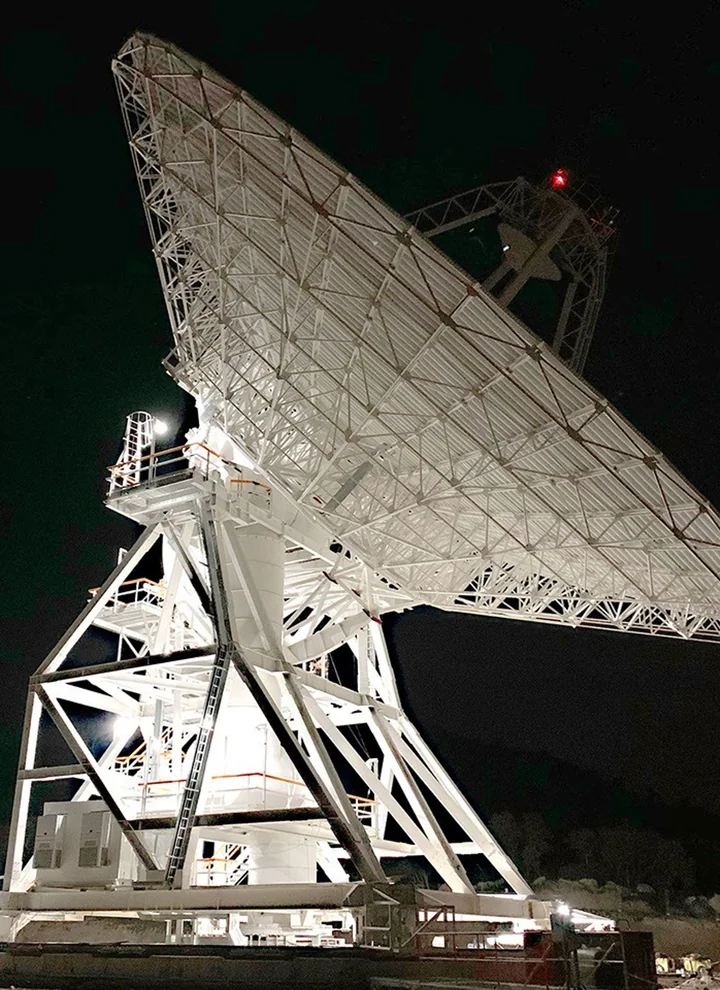
Ionospheric products, solar activity and precipitation along signal paths.
Natural-disturbance context and communications-environment studies, with uncertainty made visible.
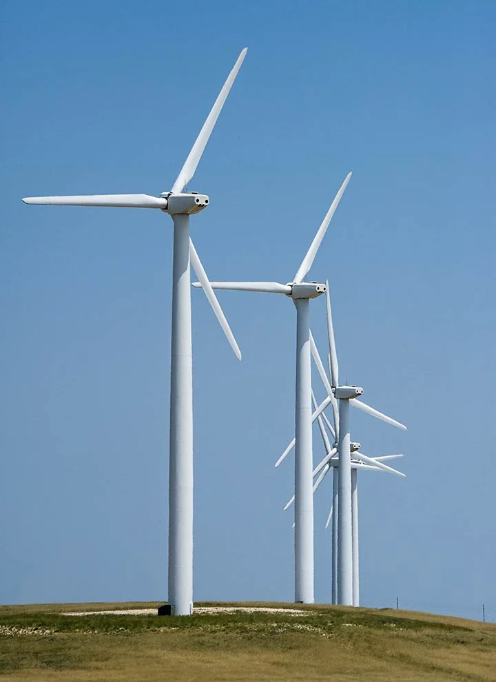
Earth observation, terrain, vegetation and local weather.
Environmental monitoring and inspection context for utilities, renewables, transport and land management.
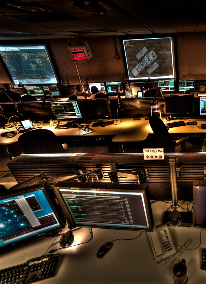
Environmental observations and quality-assessed data for non-combat work.
Weather awareness, humanitarian logistics, search and rescue, infrastructure monitoring and research.
03 / From data to information
Illustrative outputs we can scope together. Availability and accuracy depend on the selected sources, spatial scale and validation.
Pressure, temperature and humidity → density and vertical atmospheric context.
A physically meaningful profile for the relevant altitude and time.
Wind, precipitation, clouds and visibility → an environmental summary.
Conditions and variability explained for a defined civil use case.
Weather, lighting, terrain and sensor metadata → acquisition context.
A clearer view of what can affect optical or LiDAR survey quality.
Ionospheric and space-weather products → natural-disturbance context.
Regional context for GNSS research; not a diagnosis of interference.
Density estimates, orbit products and solar indices → drag context.
Research indicators tied to model assumptions and source quality.
Source, time, model version and validation → a traceable report.
An explanation of what is known, estimated and still uncertain.
04 / Data ecosystem
A reference catalogue for project design: open datasets, commercial products and measurements provided by partners. Inclusion does not imply an active integration, subscription or provider partnership.
Weather & historical baselines
Open forecast products and ERA5 reanalysis. Forecasts describe possible future conditions; reanalysis supports historical study.
Weather observations & forecasts
Global weather modelling and aviation observations. Product coverage and update intervals vary.
Earth observation
Satellite observations of land, vegetation, water and atmospheric conditions, with product-specific access rules.
Space weather & ionosphere
Solar and geomagnetic products, including GloTEC ionospheric context for positioning and radio research.
Atmospheric sounding
Radio-occultation products for atmospheric profiles. These are a distinct measurement pathway from orbital drag.
Orbits & upper-atmosphere research
Orbital elements and research density datasets for different analytical tasks, with separate uncertainties and terms.
Commercial weather services
Candidate weather-data and aviation-service providers where delivery, coverage or specialised products require a commercial agreement.
Commercial Earth observation
Optical and radar imagery for project-specific observation needs, subject to licences and acquisition availability.
Aircraft & traffic research
Aircraft performance models and flight observations. BADA requires licensing; commercial OpenSky use requires written permission.
Local measurements
Weather stations, calibrated sensors and vertical observations supplied or commissioned for a defined project.
Operational observations
Authorised flight logs, energy measurements and equipment specifications to calibrate a civil analytical use case.
Survey & field evidence
Licensed survey products, terrain information and independent observations for comparison and validation.
Access terms, geographic coverage, resolution, latency and redistribution rights are checked for each project. Open access does not mean every service, dataset or commercial use is unrestricted.
05 / How we work
The value is in the connection between the question, the evidence and the interpretation.
Agree on the area, altitude, time horizon and decision the information should support.
Check resolution, latency, coverage, licences and whether each dataset fits the physical problem.
Choose the model, document assumptions and compare with independent observations where available.
Present results as maps, profiles, research briefs or project APIs, with provenance and uncertainty.
An initial data assessment can lead to a focused pilot, then a scoped integration. Data licences, development, validation and ongoing delivery are agreed separately for each project.
The same environmental perspective can inform research into controlled habitats, cultivation systems and resource monitoring for future space environments. These are research directions, not claims of flight-qualified systems.
Questions, answered
No. This site presents our direction and the kinds of data and indicators that can be considered for a project. Connected sources, deliverables and validation status are defined in each proposal.
Not directly. Drag-derived density concerns the satellite's altitude. Low-altitude density and weather require appropriate local observations, atmospheric profiles and weather models.
This is an informational and research offering. Any operational use needs application-specific validation, authorised sources and the responsible operator's procedures. Requirements differ between vehicles and programmes.
Yes, for non-combat environmental research, weather awareness, humanitarian logistics, search and rescue, and infrastructure monitoring.
Let's connect the dots
Tell us what you need to understand: the location, altitude, time horizon, available data and useful output. We can start by assessing the evidence and the scope of a pilot.
Email the teamFor operators, manufacturers, researchers, data providers and public institutions.
contact@tfholding.md +373 60008884+39 3520008884